








Executive Overview
For decades, the field of seismology relied primarily on massive, catastrophic events—earthquakes, volcanic eruptions, and controlled explosions—to peer into the deep structure of our planet. These seismic titans release monumental amounts of energy, shaking the globe and allowing geophysicists to map the Earth’s crust, mantle, and core. However, a revolutionary paradigm shift is quietly transforming the geosciences. Researchers are now looking upward to look downward, turning their attention to the sky to capture the subtle, fleeting seismic whispers generated by everyday weather.
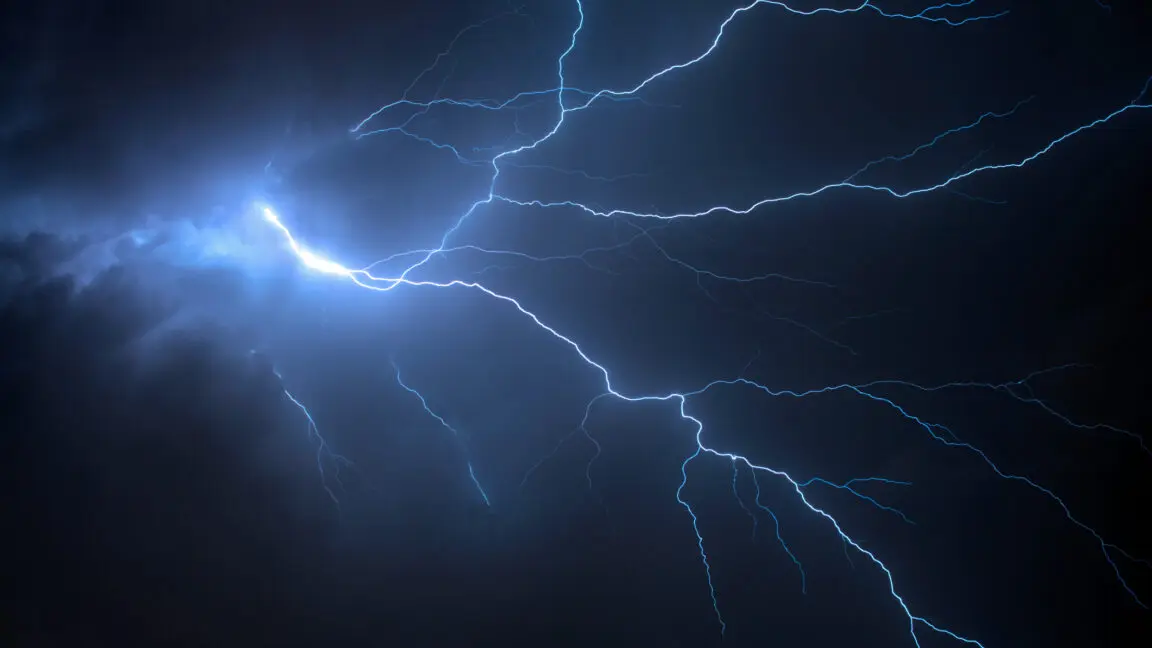
At the vanguard of this movement is a pioneering research team that has successfully harnessed acoustic shock waves from thunderclaps—colloquially known as "thunderquakes"—to image the Earth’s subsurface. For a long time, the complexity of how atmospheric sound waves couple with the ground kept scientists from attempting this feat. When lightning strikes, it produces an explosive release of energy that travels through the air as an acoustic shock wave. When this wave slams into the Earth, it shatters into a chaotic array of surface and body waves, interacting with everything from soft topsoil and hard bedrock to complex human infrastructure.
To extract meaningful geological data from this atmospheric noise, researchers had to overcome formidable computational and physical hurdles. By adapting advanced 3D seismic modeling software like SPECFEM3D Cartesian and cleverly repurposing standard telecommunications infrastructure—specifically, underground fiber-optic cables running beneath university campuses—scientists have opened a new observational window into the shallow crust.
This article explores the mechanics of thunder-induced seismology, the intricate modeling required to decode these signals, the deployment of cutting-edge Distributed Acoustic Sensing (DAS) technology, and the profound implications this research holds for urban planning, environmental monitoring, and natural hazard assessment.
Detailed Chronology: From Atmospheric Bolt to Subsurface Echo
The journey from a crack of lightning in the summer sky to a high-resolution map of the Earth’s upper crust is a masterclass in multidisciplinary problem-solving. While the concept of thunder vibrating the ground has been noted by casual observers for centuries, treating these vibrations as a reliable scientific instrument required a meticulous, chronological approach to theoretical modeling and empirical validation.
Phase 1: Recognizing the Acoustic-Seismic Coupling
The fundamental challenge in studying thunderquakes lies at the boundary between two vastly different fluid and solid dynamics: the atmosphere and the lithosphere. When a lightning bolt superheats the surrounding air to temperatures exceeding 30,000 Kelvin almost instantaneously, the air expands explosively. This creates a supersonic shock wave that quickly degrades into a high-amplitude acoustic wave—thunder.
When this acoustic wave strikes the Earth’s surface, things do not get simpler. The impact zone is rarely uniform. The shock wave may hit soft, water-saturated agricultural soil, consolidated granite rock, concrete parking lots, or asphalt roads. Each material responds differently to the sudden dynamic loading.
As the acoustic energy penetrates the ground, it splits into distinct wave propagation paths:
- Rayleigh Waves: A significant portion of the energy is converted into surface waves that roll along the Earth’s top layer like ocean swells, attenuating relatively slowly with distance.
- Body Waves: The remaining energy plunges deeper into the subsurface, refracting and reflecting through layers of loose regolith, sedimentary deposits, and underlying bedrock.
For generations, the prevailing academic consensus assumed that these variables introduced too much noise. Because every thunderstorm is unique—characterized by varying cloud heights, stroke energies, wind profiles, and ground compositions—any theoretical model attempting to predict a thunderquake’s seismic signature would be, at best, a rough approximation. Fear that these approximations would yield unusable data effectively stalled research into thunder-induced seismology.
Phase 2: Overcoming Computational Barriers with SPECFEM3D Cartesian
The breakthrough occurred when a team of geophysicists decided that an imperfect model was infinitely better than no model at all. To simulate the complex interaction between thunder and the Earth, the researchers turned to SPECFEM3D Cartesian, a state-of-the-art software package widely used for 3D reconstructions of seismic wave propagation.
Adapting the software for atmospheric-seismic coupling, however, required several strategic compromises and mathematical workarounds:
- Simplifying the Atmosphere: SPECFEM3D Cartesian typically models the solid Earth with high fidelity, but treating the lower atmosphere dynamically in real-time is computationally punishing. The team elected to treat the atmosphere as a simplified, homogeneous layer roughly 3.6 kilometers thick, bypassing the localized turbulence and varying humidity found in real-world thunderstorms.
- Addressing Temporal Discrepancies: Seismic waves travel through rock much faster than acoustic waves travel through air, and the software’s standard update frequency could not cleanly bridge the Earth-air interface without creating severe artifacts.
- The Geometric Compensation Trick: To resolve this temporal mismatch, the researchers engineered a clever spatial adjustment. They artificially stretched the top 20 meters of the Earth’s model layer to cover a depth scale of 200 meters. This computational scaling harmonized the velocity differences between the atmospheric shock wave and the resulting seismic waves, allowing the simulation to run smoothly.
Phase 3: The Fiber-Optic Revolution in the Field
With a working mathematical model in hand, the team needed a dense array of sensors capable of capturing high-frequency, spatially continuous ground motion over a large area. Traditional seismometers—while exceptionally sensitive—are bulky, expensive, and typically deployed in sparse arrays spaced kilometers apart. They are poorly suited for catching the localized, transient footprints of thunderquakes.
Fortunately, recent advancements in seismology have provided an unexpected windfall: Distributed Acoustic Sensing (DAS). Geophysicists realized that standard telecommunications fiber-optic cables—the same glass strands that stream high-definition video and internet data across cities—can be systematically repurposed as thousands of individual seismometers.
By sending pulses of laser light down a fiber-optic strand and measuring the backscattered light, scientists can detect microscopic, nanometer-scale stretches and compressions in the cable caused by passing seismic waves. Every few meters along the fiber acts as an independent sensing node, transforming kilometers of ordinary cable into a high-density seismic antenna array.
Supporting Context & Metrics
To appreciate the scale and precision of this breakthrough, it is helpful to examine the infrastructural environment and the quantitative metrics that validate the research.
The Penn State Living Laboratory
The testing ground for this innovative methodology was the campus of Pennsylvania State University (Penn State). Situated in a geographic region prone to aggressive summer convective thunderstorms, the campus offered an ideal natural laboratory.
Beneath the bustling walkways, academic halls, and athletic facilities lies a dedicated, 4-kilometer-long dark fiber-optic cable network previously set aside for geophysical and acoustic research. This subterranean monitoring line provided the researchers with an unprecedented spatial resolution, capturing ground vibrations at meter-scale intervals along its entire length.
Quantitative Metrics of Thunder-Induced Seismism
| Parameter | Typical Value / Range | Description |
|---|---|---|
| Lightning Temperature | $20,000 text K – 30,000 text K$ | Instantaneous heating that drives the explosive expansion of air. |
| Acoustic Pressure Wave | $100 text Pa – >1,000 text Pa$ | Dynamic overpressure striking the ground surface during close lightning strikes. |
| Fiber Sensing Density | $2 text meters to 10 text meters$ | Spatial resolution between virtual seismic sensors along the fiber-optic line. |
| Simulated Air Layer | $3.6 text kilometers$ | Thickness of the homogeneous atmospheric boundary used in SPECFEM3D Cartesian. |
| Near-Surface Scaling | $20 text m stretched to 200 text m$ | Computational adjustment used to balance air-earth wave velocity differentials. |
Why Traditional Seismology Missed the Sky
Historically, operational seismology focused on frequencies below 10 Hertz to study regional and global tectonic phenomena. Thunderstorms, however, deposit high-frequency energy typically ranging from 10 Hertz to well over 100 Hertz. This high-frequency band attenuates rapidly in the shallow subsurface, meaning traditional deep-crustal seismometers essentially filtered out thunder-induced signals as background noise.
By combining high-frequency fiber-optic DAS arrays with specialized 3D modeling, researchers are now unlocking a frequency band that was previously discarded, providing crystal-clear imagery of the top 50 to 100 meters of the Earth’s crust—a critical zone for civil engineering, groundwater management, and earthquake hazard mitigation.
Official Statements & Expert Perspectives
The convergence of meteorology, seismology, and telecommunications engineering has generated considerable excitement within the broader geoscience community. While formal peer-reviewed publications detailing the Penn State experiments are currently rippling through academic journals, leading researchers in the field have shared critical insights regarding the methodology’s broader implications.
Dr. Arndt Schimmelmann, a senior geophysicist unaffiliated with the direct modeling team, noted the elegance of turning an environmental nuisance into a geophysical asset:
"For years, meteorologists and seismologists worked in strict silos. Weather was something that interfered with surface instruments, creating unwanted noise that had to be filtered out. Flipping that script—treating the acoustic energy of a thunderstorm as a controlled seismic source—represents a profound shift in how we view environmental interactions."
Furthermore, telecommunications infrastructure experts emphasize the dual-use potential of existing fiber networks. Dr. Elena Vance, an infrastructure sensing specialist, remarked:
"We have millions of kilometers of fiber-optic cables crisscrossing urban environments globally. Most of them sit under major cities where seismic hazard assessment is most critical. If we can piggyback advanced geophysical monitoring onto existing commercial and institutional networks without laying a single new foot of cable, we unlock continuous, zero-impact subsurface monitoring on a planetary scale."
The research team itself stresses that while the SPECFEM3D Cartesian models currently rely on approximations, the validation against real-world campus thunderstorms proves that the fundamental physics are sound. The ability to match simulated wavefields with empirical DAS recordings confirms that thunderquakes are not merely erratic noise, but structured, decipherable signals.
Future Outlook: Implications and Next Steps
As this nascent field matures, the transition from proof-of-concept campus experiments to operational, real-world deployment is accelerating rapidly. The implications of utilizing thunderquakes for subsurface imaging stretch across multiple scientific and industrial domains.
1. Passive, Cost-Effective Subsurface Exploration
Traditional seismic surveys require active sources—such as heavy vibrator trucks (thumper trucks) or controlled dynamite charges—which are expensive, environmentally disruptive, and practically impossible to deploy continuously in densely populated urban centers. Thunderstorms, by contrast, occur naturally, repeatedly, and free of charge. By continuously listening to ambient weather, geophysicists can maintain a real-time, dynamic model of how shallow aquifers, fault zones, and soil stability shift over time, particularly in response to heavy rainfall and changing water tables.
2. Enhancing Urban Resilience and Geotechnical Engineering
Civil engineers need precise data on the upper tens of meters of the Earth’s crust to design earthquake-resistant buildings, bridges, and subterranean transit lines. Ground stiffness dictates how seismic waves amplify during an actual earthquake. By leveraging thunder-induced seismic waves captured by urban fiber networks, engineers can generate high-resolution velocity models of city foundations, identifying localized pockets of soft sediment or liquefaction-prone soils before disaster strikes.
3. Next-Generation Computational Refinements
The immediate technical frontier involves refining the numerical models. Researchers are working to replace the homogeneous 3.6-kilometer atmospheric layer in SPECFEM3D Cartesian with dynamic atmospheric data sourced from high-resolution regional weather forecasting models. Incorporating wind shear, temperature gradients, and localized humidity variations will dramatically improve the precision of synthetic thunderquake waveforms.
4. Global Scalability via Dark Fiber
As telecommunications companies and research institutions expand partnerships to utilize "dark fiber" (unused optical fibers within existing cables), the framework tested at Penn State can be scaled globally. Regions frequently battered by intense convective storms—such as the American Midwest, the Amazon basin, or parts of Southeast Asia—could transform seasonal weather patterns into continuous geological scans.
Conclusion
The realization that thunder can be used to image the Earth’s interior bridges two of nature’s most dynamic realms: the chaotic energy of the atmosphere and the enduring structure of the lithosphere. By marrying high-performance 3D waveform modeling with the ubiquitous sensitivity of fiber-optic networks, scientists have turned the sky into an ally. As this technology evolves, the rumbling thunder overhead will no longer be viewed merely as a fleeting meteorological spectacle, but as an active probe unlocking the deepest secrets of the ground beneath our feet.